Home > Electronics & Navigation > Navigation > Charts (Paper Charts)
Manufacturer #: ICI-C100-2
At a scale of 1:7,620,000 this chart covers the North Atlantic from Brazil to Newfoundland and Gibraltar to the Caribbean. It has been constructed on a conical projection that means that Great Circle tracks can be plotted as straight lines rather than curves. Chart 100 shows the main trend of depth contours, limits of ice, magnetic variations and keys routes as identified by Donald M. Street Jr. In the enclosed booklet are pilot charts showing winds, currents and wave height frequencies with accompanying notes on favourable route timings and hurricane risk. Chart 100 is an important companion for Atlantic yachtsmen on passage and an excellent source of planning information.
Publication details
We're currently unable to show live stock information on our website, so if you need delivery fast we strongly recommend checking availability first. Simply fill out the form below and we'll get back to you, or call us on +44 (0)1243 375774 for an immediate answer.
Be the first to Write a Review for this item!
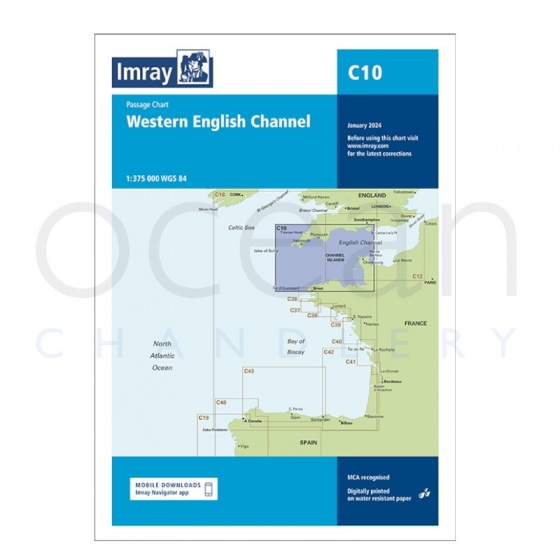
Imray - Chart C10 Western English Channel Passage Chart
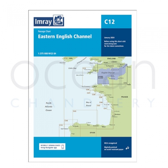
Imray - Chart C12 Eastern English Channel Passage Chart
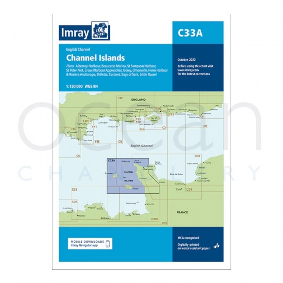
Imray - Chart C33A Channel Islands (North)
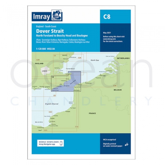
Imray - Chart C8 Dover Strait, North Foreland to Beach Head & Boulogne
My Account Total: £0.00